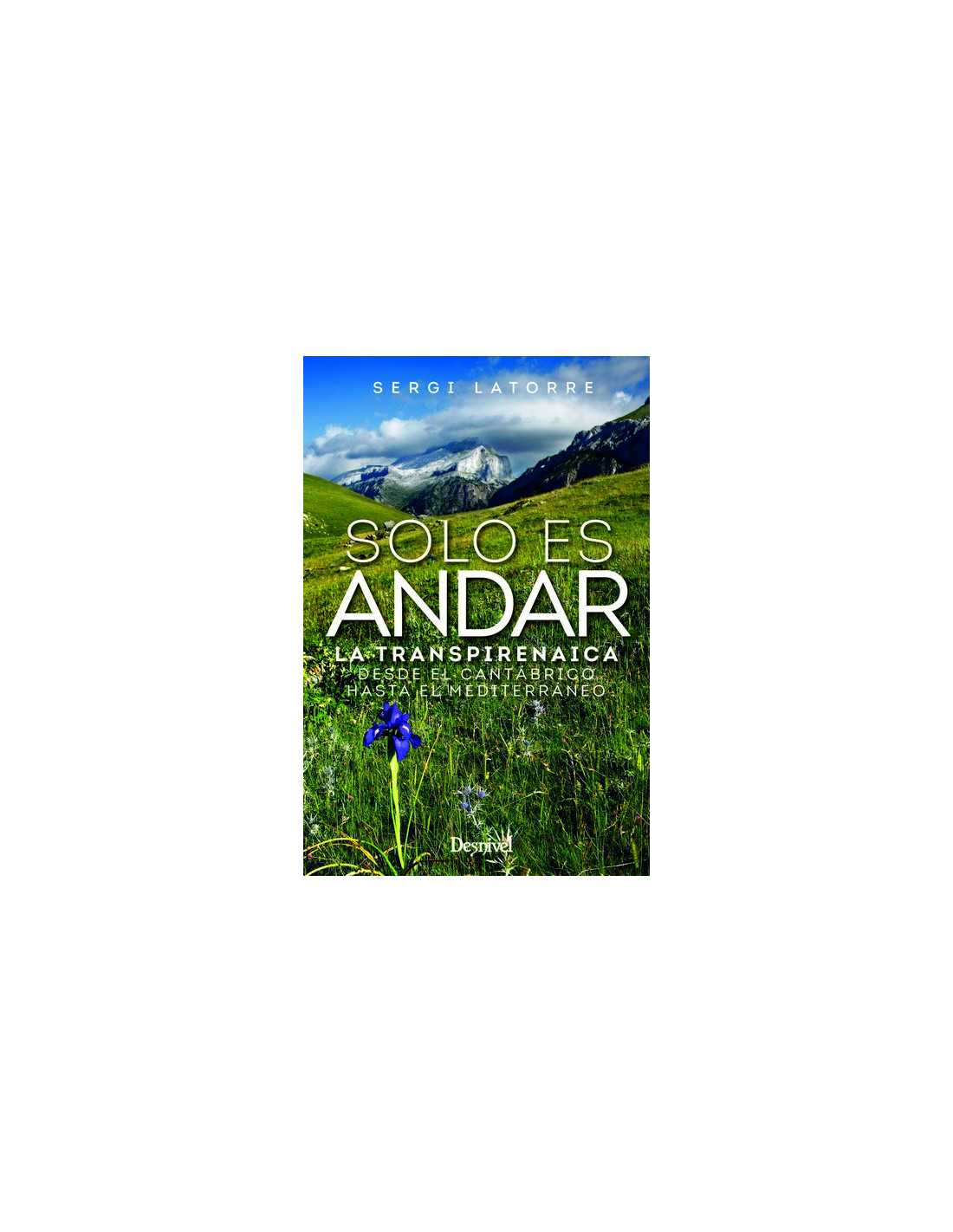
The Transpirenaica is a mountain route that covers the entire Pyrenees. It connects Cape Higuer in Gipuzkoa with Cap de Creus in Girona via the GR11 long-distance trail. More than 800 kilometers cross the Basque, Navarrese, Aragonese, Andorran, and Catalan Pyrenees. With a cumulative elevation gain and loss of 78,000 meters, it's roughly equivalent to climbing and descending Mount Everest nine times.
It's divided into more or less stages, although the average is usually around 45 days of trekking through medium and high mountains: an adventure many have dreamed of since they first learned of its existence. Sergi Latorre is one of them.
And here he tells us with detail and wit, every step of that journey: 800 kilometers through beech forests and alpine meadows, glacial valleys at the foot of peaks, hills and ravines, scree and lost villages, storms and starry skies. The text blends the experiential with the practical, so that Solo es andar can serve as a kind of unofficial guide to accompany your steps. A sincere, entertaining, and meticulous book.
- To understand the journey in its entirety.
- To fight for the cause of the present, following the white and red signs.
- Let the stone, the water and the wind guide you.
- To believe that it is possible.
- To make you laugh and be inspired.
- For dreamers who dare to just begin.